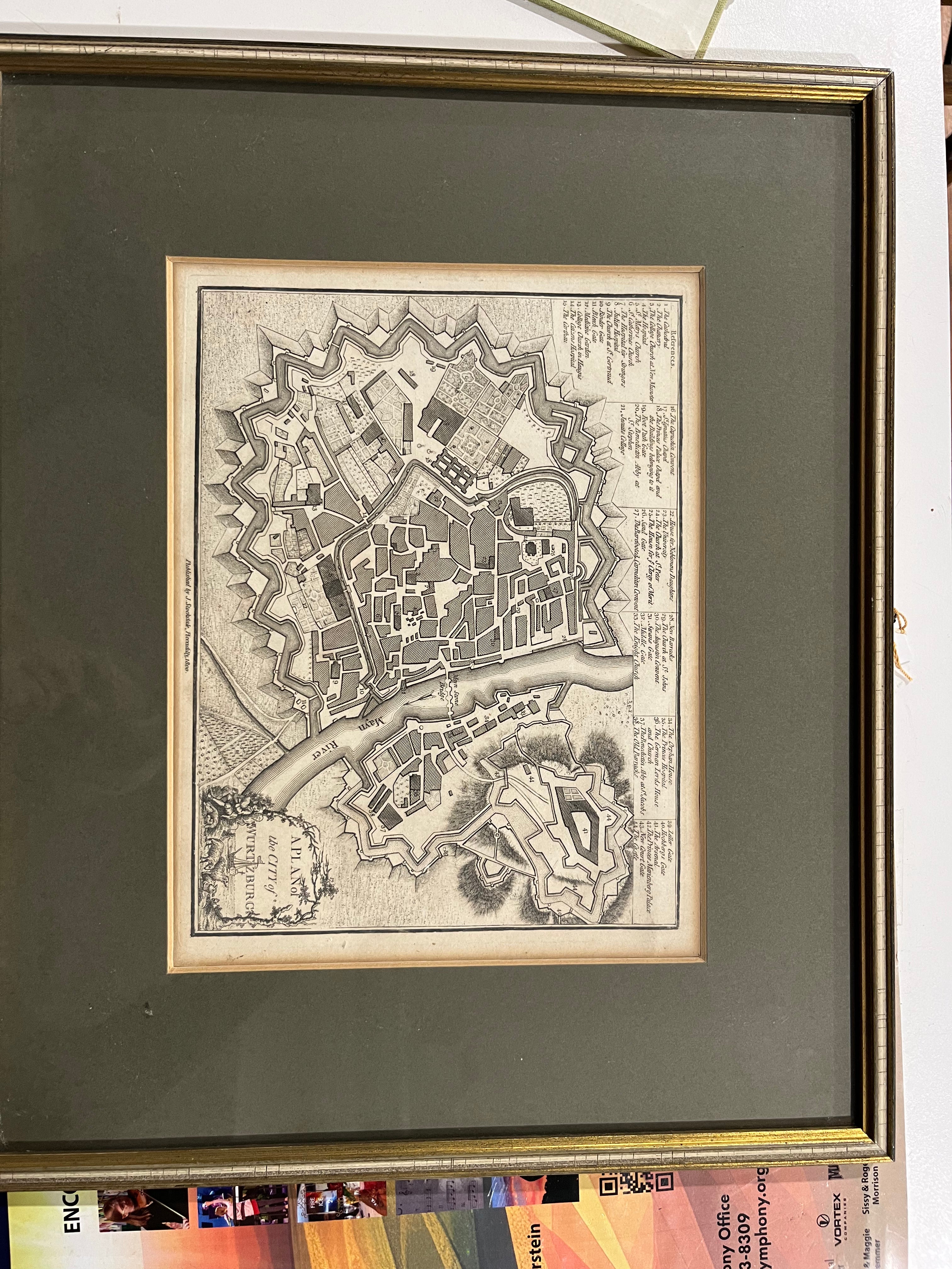
Map of Wurtzburg
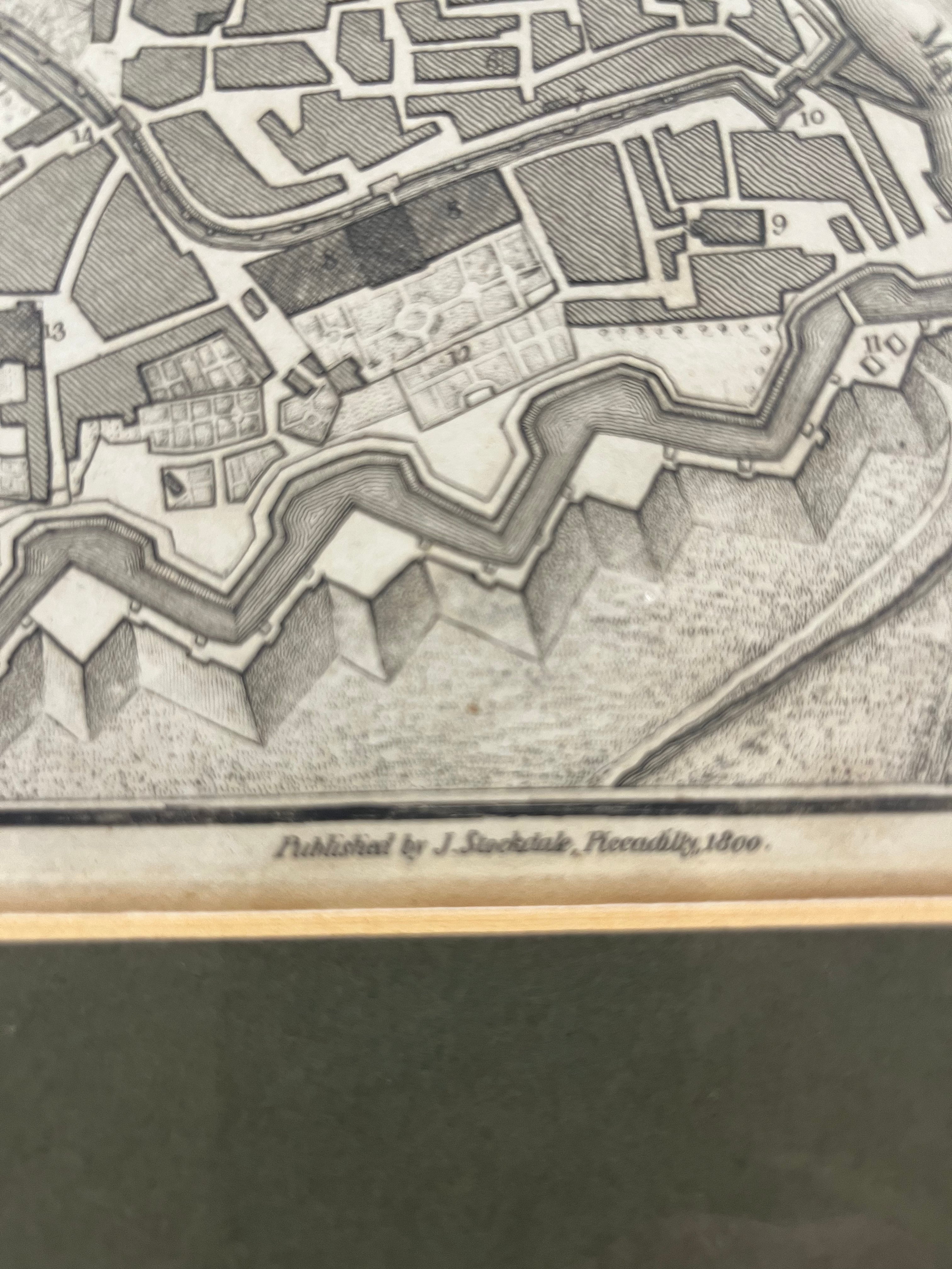
This exquisite antique map depicts the city of Würzburg in Bavaria, a cartographic treasure from the early 19th century. Published by the esteemed J. Stockdale circa 1800, this historical document captures the urban layout and architectural significance of this Bavarian jewel during a pivotal era. The map arrives professionally framed and matted, ready for display in any discerning collector's home or study.
Measuring 16.5" x 13.5".
Map of Wurtzburg
Sale price$120
Choose options
Map of Wurtzburg
Sale price$120